Would you like to make this site your homepage? It's fast and easy...
Yes, Please make this my home page!
Equiphoto presents:
PhotoStory:
How to walk around the Annapurna's
The Annapurna region in Nepal
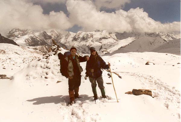
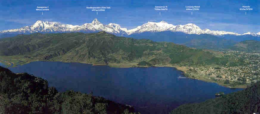
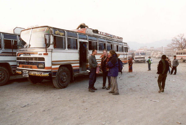
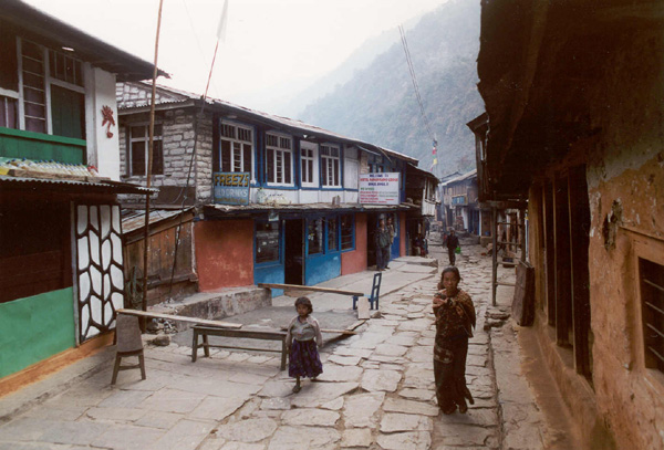
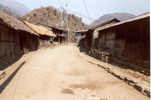
The walk in the annapurna's is illustrated in 85 pictures.
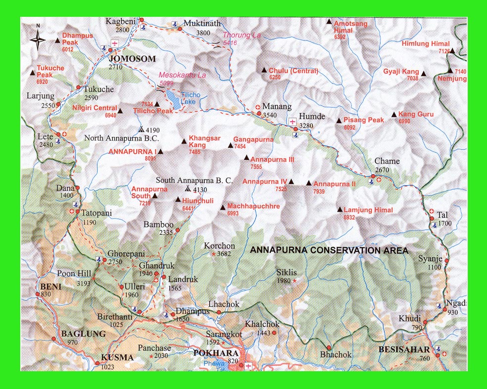
You can follow the story board or go directely to the area of your choice
by viewing the clickable map
You can also pick a snapshot
(600x400 jpegs)in a random order
Important: to reuse these images you need a permission by Jaap de Jong.
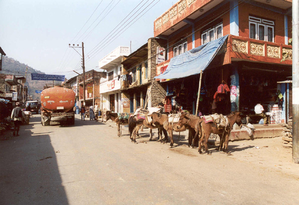
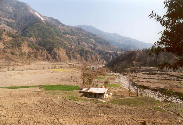
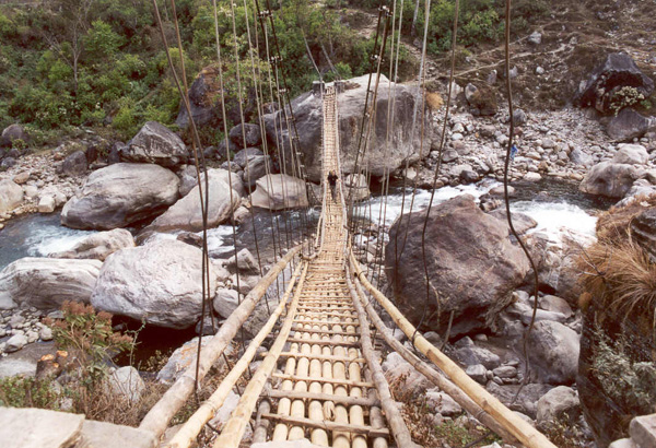
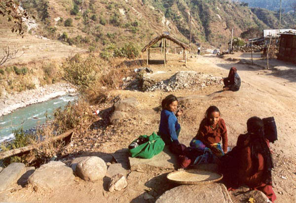
Snapshots
| Pokhara to Ngadi 01 - 02 - 03 - 04 - 05 - 06 - 07 - 08 |
Ngadi to Bagarchap 09 - 10 - 11 - 12 - 13 - 14 - 15 - 16 |
Bagarchap to Bhratang 17 - 18 - 19 - 20 - 21 - 22 - 23 - 24 |
Bhratang to Ghyaru 25 - 26 - 27 - 28 - 29 - 30 - 31 - 32 |
Ghyaru to Braga 33 - 34 - 35 - 36 - 37 - 38 - 39 - 40 |
Braga to Yak Kharka 41 - 42 - 43 - 44 - 45 - 46 - 47 - 48 |
Yak Kharka to Thorung Phedi 49 - 50 - 51 - 52 - 53 - 54 - 55 - 56 |
Thorung Phedi to Thorung La 57 - 58 - 59 - 60 - 61 - 62 - 63 - 64 |
Thorung La to Muktinath 65 - 66 - 67 - 68 - 69 - 70 - 71 - 72 |
Muktinath to Kagbeni 73 - 74 - 75 - 76 - 77 - 78 - 79 - 80 |
Kagbeni to Jomsom 81 - 82 - 83 - 84 - 85 - - - |
If your browser supports in-line jpegs,please enjoy
the storyboard
!
Visit the Lonely Planet page!